Control Network Setup
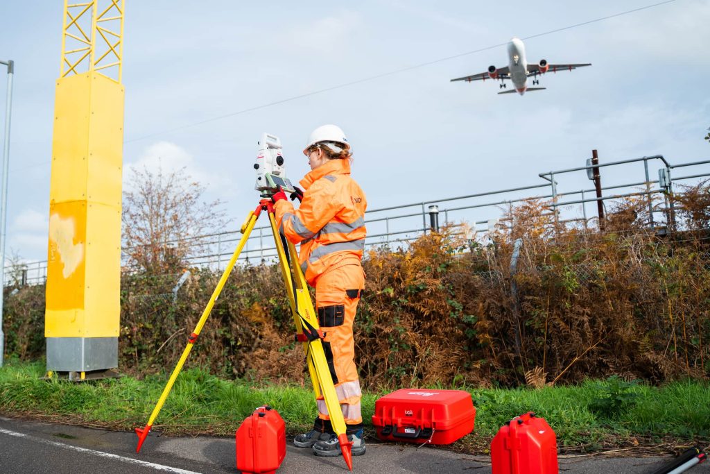
We provide precise and reliable control network setups to support accurate surveying, setting out, and construction across all project scales. Whether for infrastructure, commercial development or complex urban sites, our control networks establish the geospatial foundation your project needs to succeed.
Monitoring Services
We provide a full range of construction monitoring solutions to help you manage environmental and structural risks with confidence. Whether you’re working near sensitive buildings, in busy urban environments, or to strict planning conditions, our monitoring services deliver the real-time data you need to stay compliant, proactive and in
control.
Dilapidation Surveys

We provide detailed dilapidation surveys to record the condition of surrounding structures and surfaces before construction, demolition or infrastructure work begins. These surveys create a clear baseline to protect all parties, reduce the risk of disputes, and ensure transparency throughout your project.
Mobile Mapping

We deliver high-speed, high-accuracy mobile mapping services for large-scale and linear infrastructure projects. Using advanced vehicle-mounted LiDAR and imaging technology, we capture detailed geospatial data without disrupting live environments – saving time, reducing risk, and increasing survey coverage.
Monitoring

Monitoring can mitigate the potentially catastrophic failure of infrastructure and therefore reduces any costs linked to the associated rectification.
Laser Scanning
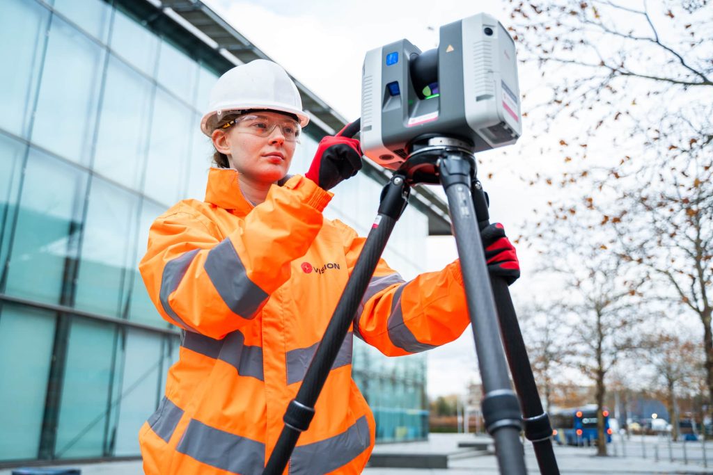
We provide high-precision laser scanning services to capture detailed 3D data of buildings, structures, and environments. Using advanced terrestrial laser scanners, we deliver accurate, millimetre-level point clouds and 3D models to support design, planning, and construction.
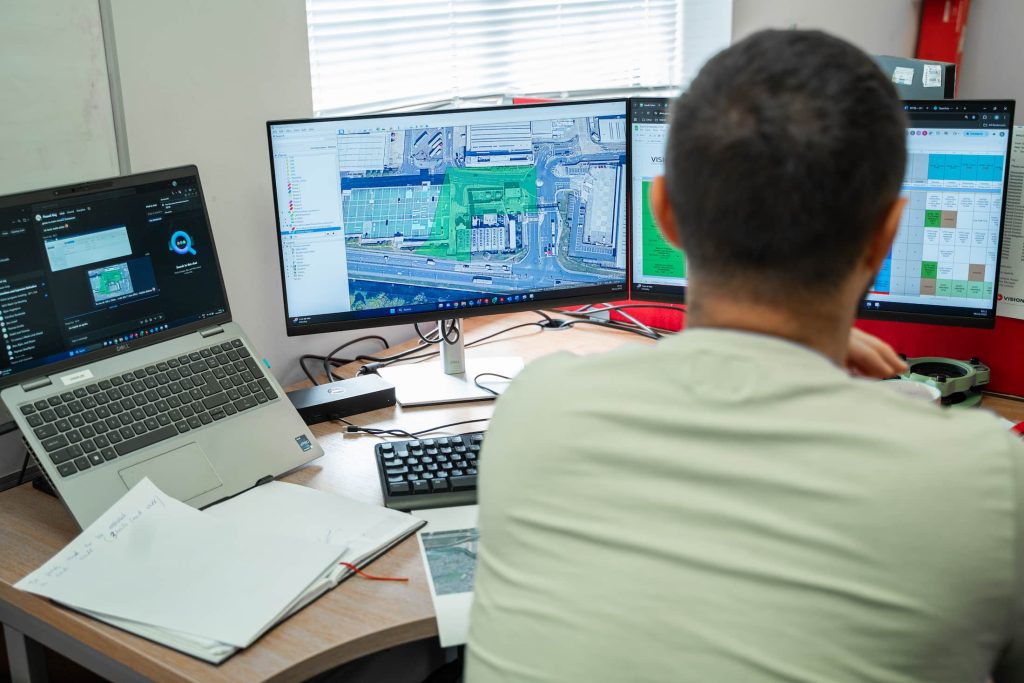
BIM & Digital Modelling

We deliver detailed, high-accuracy digital modelling services to support planning, design, and construction across all sectors. From 3D terrain models to fully integrated BIM
outputs, our digital models provide a reliable foundation for smarter decisions and better-built outcomes.
Drone Survey

We offer fast, safe and cost-effective drone (UAV) surveys to capture high-resolution aerial data across a wide range of environments. From topographical mapping to visual inspections, our drone services deliver accurate, georeferenced outputs, without the need for boots on the ground.