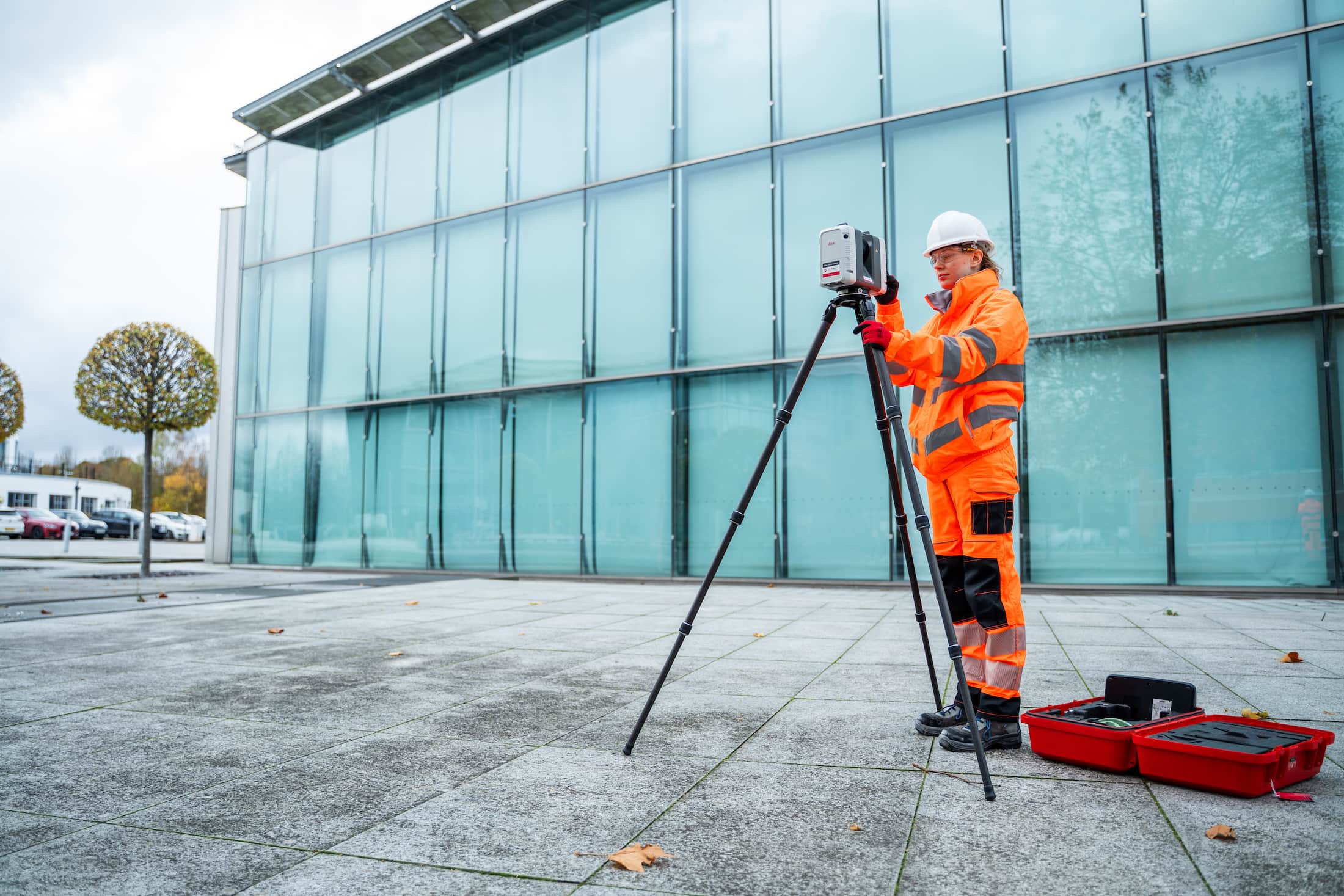
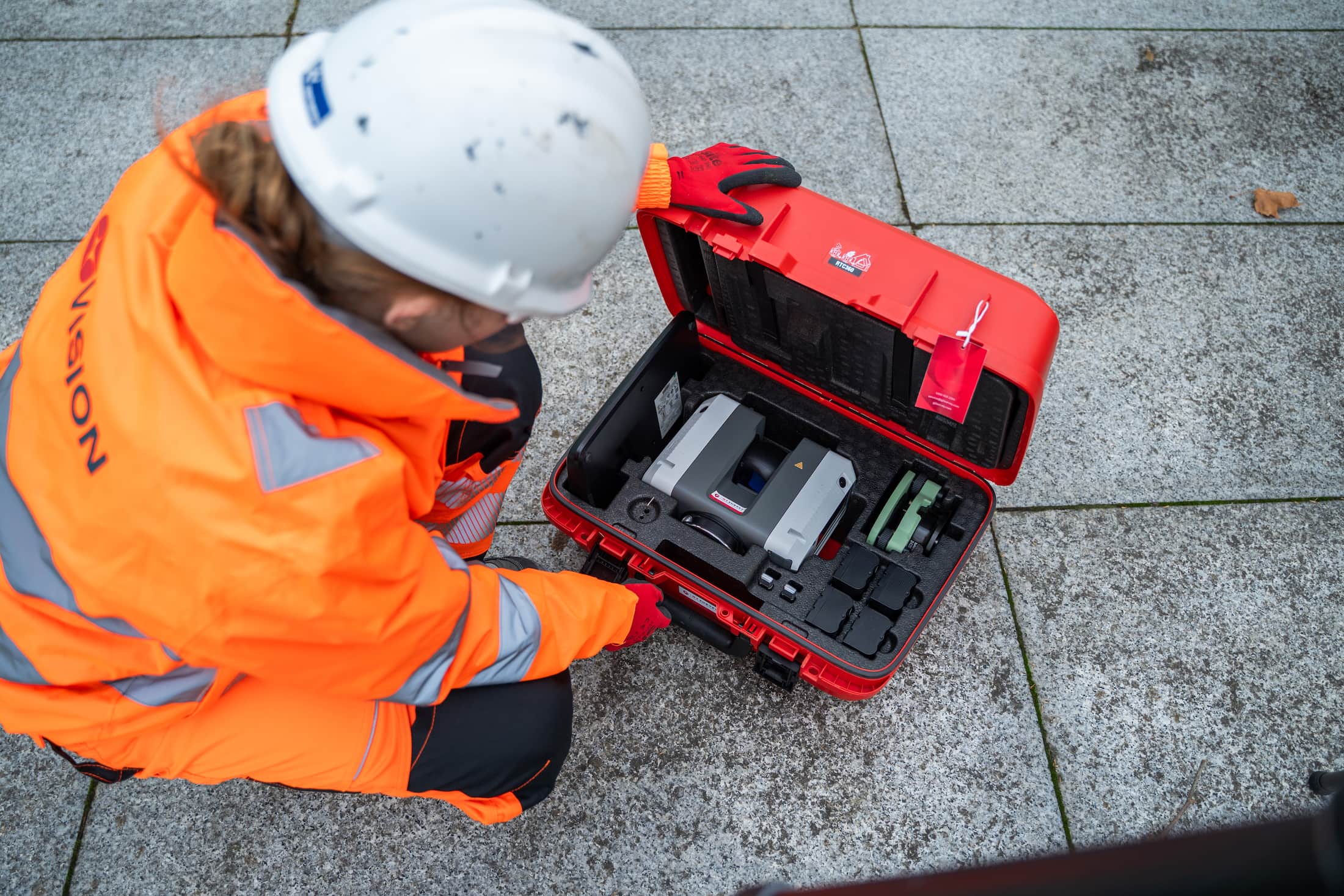
We provide high-precision laser scanning services to capture detailed 3D data of buildings, structures, and environments. Using advanced terrestrial laser scanners, we deliver accurate, millimetre-level point clouds and 3D models to support design, planning, and construction.
What is laser scanning?
Laser scanning (also known as 3D scanning or terrestrial LiDAR) is a non-contact method of capturing millions of spatial data points from surfaces and structures. It allows us to create a full, three-dimensional representation of any site, indoors or outdoors, with unmatched accuracy.
Laser scanning is ideal for:
Measured building and structure surveys
As-built verification and clash detection
Heritage and façade recording
Complex geometries and inaccessible areas
BIM modelling and digital twin creation
Accurate, detailed 3D data for any environment
We use industry-leading laser scanners to quickly and safely capture data with minimal disruption to your site. Whether it’s a live construction zone, a heritage building, or a plantroom full of services, laser scanning ensures you get the information you need down to the finest detail.
We provide:
High-density point clouds and 3D mesh models
Sectional views, elevations, and floor plans
Integration with Revit, AutoCAD, Navisworks and other platforms
BIM-ready models and digital documentation
Clear visual outputs for project teams and stakeholders
Why choose Vision Survey?
Highly experienced 3D survey specialists
Accurate, repeatable results, faster than traditional methods
Minimal site disruption and safe data capture
Seamless integration with design and construction workflows
Trusted across architecture, engineering, construction and heritage sectors
From renovation and retrofit projects to large-scale infrastructure and design validation, our laser scanning services deliver the clarity and confidence you need to plan, model and build with precision.
Get in touch
Need a fast, accurate 3D scan of your site or structure? Contact Vision Survey today to arrange a laser scanning survey and get the data that brings your project to life.