We deliver detailed, high-accuracy digital modelling services to support planning, design, and construction across all sectors. From 3D terrain models to fully integrated BIM outputs, our digital models provide a reliable foundation for smarter decisions and better-built outcomes.
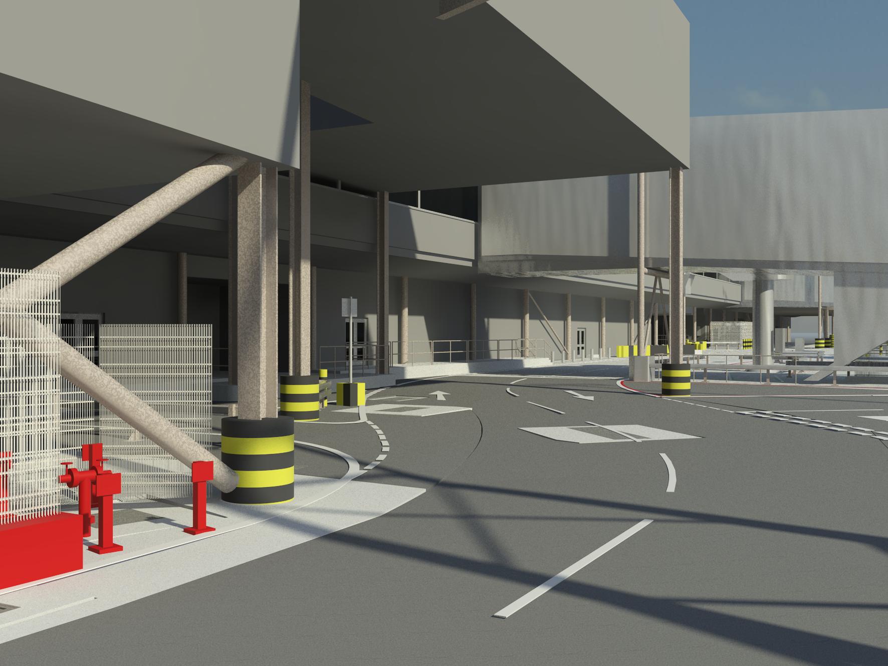
Digital modelling transforms raw survey data, captured through laser scanning, UAV, LiDAR or total station methods, into accurate 3D representations of real-world environments. These models can be used for visualisation, clash detection, design coordination, and asset management throughout the project lifecycle.
Digital modelling is ideal for:
Whether you need a surface model of a site, a detailed 3D model of an existing structure, or a BIM-ready dataset, our digital modelling services are tailored to your project’s specific needs. We work closely with designers, engineers and contractors to ensure outputs are compatible with your software and workflow.
We provide:
From early-stage planning to detailed design and project handover, our digital modelling services ensure your data works harder, smarter, and more accurately across every phase of delivery.

Looking to turn site data into actionable design intelligence? Contact Vision Survey today to discuss your digital modelling requirements and see how we can support your next project with clarity and precision.