We deliver high-speed, high-accuracy mobile mapping services for large-scale and linear infrastructure projects. Using advanced vehicle-mounted LiDAR and imaging technology, we capture detailed geospatial data without disrupting live environments – saving time, reducing risk, and increasing survey coverage.
What is mobile mapping?
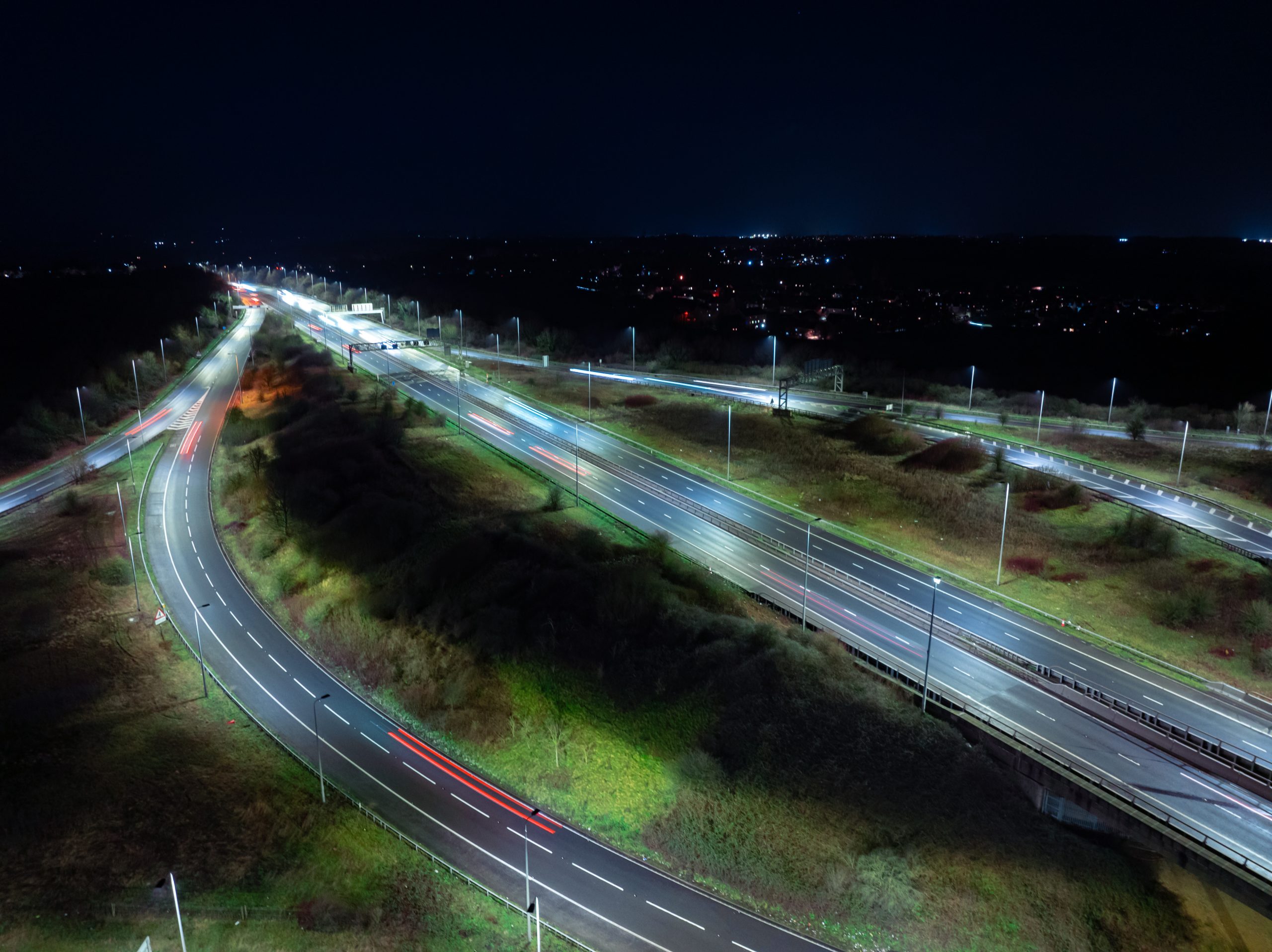
Mobile mapping uses laser scanners, GPS, and 360° imaging systems mounted on a vehicle to collect geospatial data while in motion. It’s ideal for surveying road networks, highways, rail corridors, and other expansive or difficult-to-access environments where traditional methods may be time-consuming or unsafe.
Mobile mapping is perfect for:
Highway and road condition surveys
Asset mapping and data collection over large areas
Rail and transport infrastructure monitoring
Urban planning and smart city modelling
Pre-design and engineering feasibility studies
Fast, efficient, high-resolution data capture
Our mobile mapping systems capture millions of points per second, providing detailed point clouds, panoramic imagery and georeferenced data, ideal for both engineering-grade outputs and GIS integration.
We provide:
Fully georeferenced 3D point clouds
360° panoramic images for visual context
Asset inventory and condition assessments
Integration with CAD, BIM, and GIS platforms
Safe, rapid data collection with minimal on-site disruption
Why choose Vision Survey?
Advanced mobile mapping equipment and software
Experienced survey teams with infrastructure expertise
Ideal for active roadways, live rail, and time-sensitive projects
High-volume data capture with pinpoint accuracy
Trusted by engineers, asset managers, and local authorities
Whether you’re managing national infrastructure or planning smart urban developments, our mobile mapping services deliver the accurate, wide-area data you need, fast.
Get in touch
Need accurate, large-scale geospatial data without slowing down your project? Contact Vision Survey today to arrange a mobile mapping survey and see how we can support your next infrastructure or development programme.