Control network setup

We provide precise and reliable control network setups to support accurate surveying, setting out, and construction across all project scales. Whether for infrastructure, commercial development or complex urban sites, our control networks establish the geospatial foundation your project needs to succeed.

What is a control network?

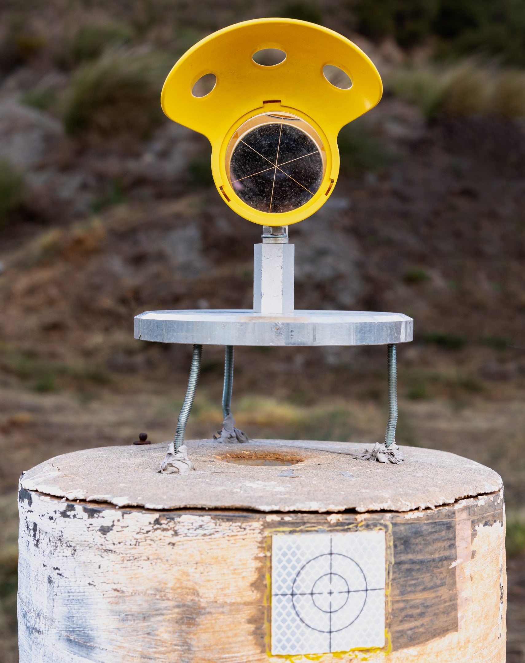
A control network is a coordinated system of reference points, known as control points, used to ensure that all measurements, surveys, and construction activities on a site are accurate and consistent. These fixed points form the framework for every stage of your project, from topographical surveys and setting out to as-built checks and monitoring.

Control networks are essential for:

  • Large or complex construction sites
  • Multi-phase or multi-contractor projects
  • Accurate setting out and alignment
  • Integration with national or local coordinate systems
  • Reducing cumulative survey errors across long durations

How we set up control networks

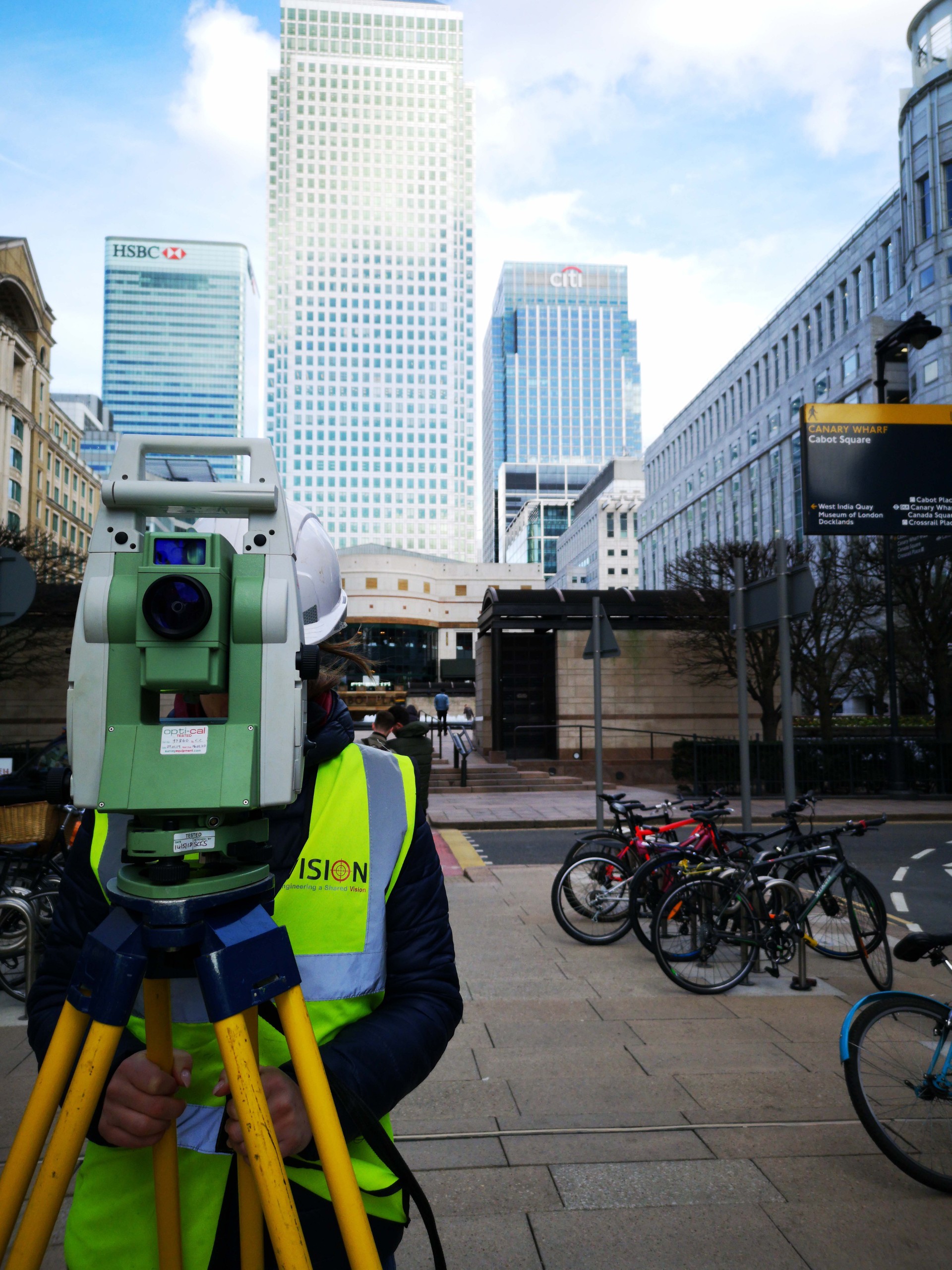
Using advanced surveying equipment including GPS (GNSS) and robotic total stations, we establish robust control points that serve as permanent or semi-permanent references throughout the life of the project.

Our process includes:

  • Planning
    Assessing the site’s size, complexity, visibility, and access to determine optimal control point locations.
  • Establishing control points
    Precisely installing marked reference points using nails, targets, pins or monuments. Each point is measured using industry-standard techniques to ensure accuracy and repeatability.
  • Measuring and recording
    Using known benchmarks, total stations and GNSS, we record detailed coordinates, elevations and metadata for every point in the network.
  • Verification and adjustment
    Cross-checking and adjusting control points to ensure consistency across the network and eliminate potential inaccuracies.
  • Maintenance and integrity checks
    Periodic validation throughout the project to confirm that control points remain undisturbed and accurate, with re-measurement or replacement where needed.

Why choose Vision Survey?

  • Highly experienced geospatial and engineering surveyors
  • Advanced equipment and best-practice methodology
  • Seamless integration with site teams, designers, and contractors
  • Accurate tie-in to OSGB36, ETRS89 or site-specific grids
  • Trusted on infrastructure, energy, commercial and residential projects

A well-planned and professionally maintained control network is the backbone of any successful construction or survey operation. At Vision Survey, we ensure yours is built to perform, now and throughout your project’s lifespan.

Get in touch

Need a robust control network for your project? Contact Vision Survey today to speak with our team and lay the foundation for accurate, efficient and aligned delivery from day one.

Discover similar services

Services

Monitoring services

Services

Dilapidation surveys

Services

Mobile Mapping

Services

Monitoring

Services

Laser Scanning

Services

Digital Modelling

Services

Drone Survey