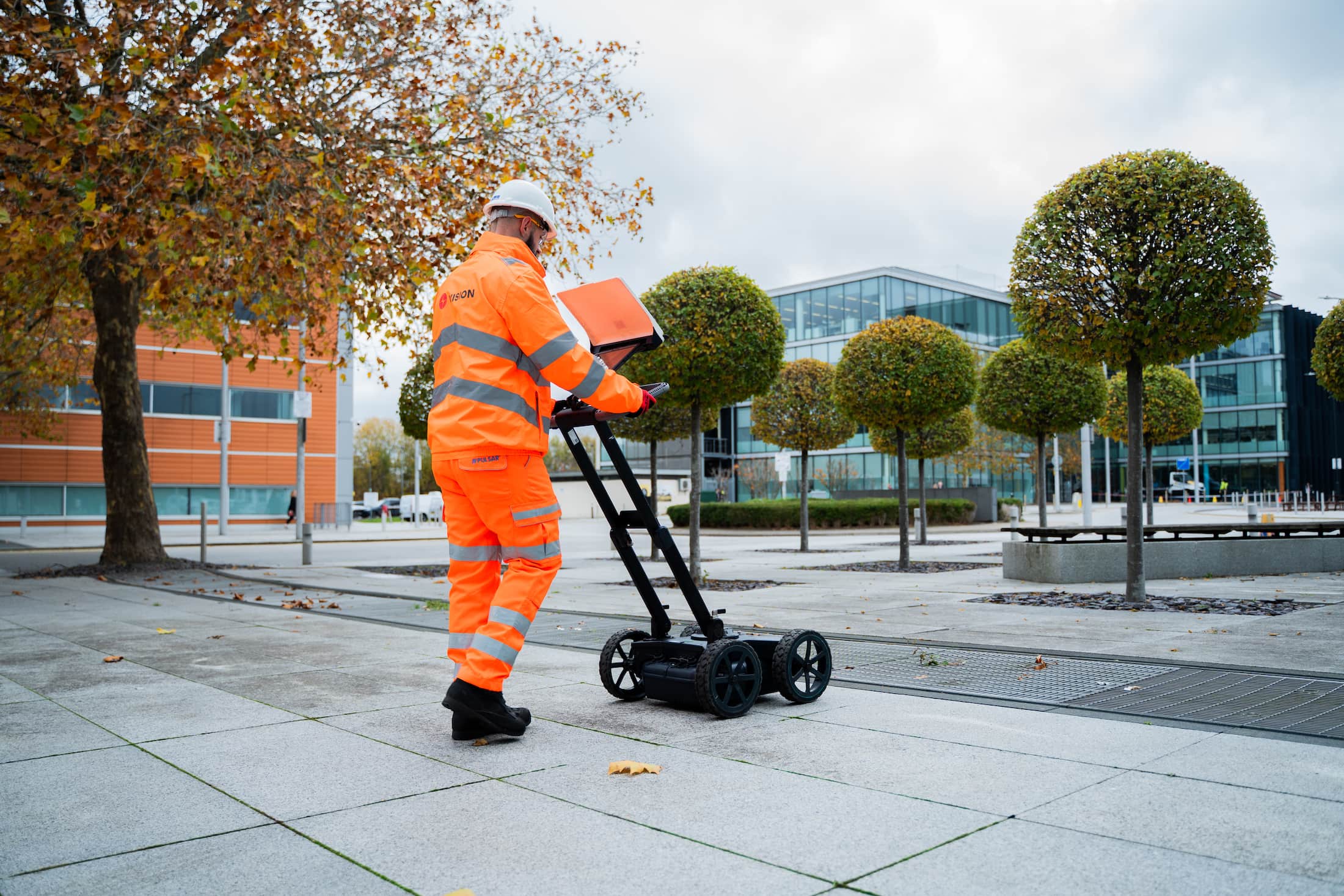
We offer high-resolution ground penetrating radar (GPR) surveys to locate and map subsurface features with speed, accuracy and minimal disruption. From utility tracing to void detection, our GPR services support safe design, excavation, and site planning.
What is ground penetrating radar (GPR)?
Ground penetrating radar is a non-invasive geophysical method that uses electromagnetic waves to detect changes in material below the surface. GPR is especially effective for locating utilities, voids, underground structures, and buried obstructions without the need for excavation.
This service is ideal for:
Locating non-metallic utilities such as plastic water and drainage pipes
Mapping underground structures like tanks, culverts and ducts
Identifying voids, anomalies, or buried obstructions
Supporting utility mapping and PAS 128 surveys
Pre-design site assessments and risk reduction
How we work
Our trained operatives use advanced GPR equipment capable of scanning paved surfaces, concrete slabs, soil, and other ground types. Data is reviewed in real time and processed to provide clear visual outputs, which can be delivered as stand-alone results or integrated into CAD drawings and GIS systems.
We provide:
GPR surveys for utilities, voids, and structural features
2D and 3D GPR data visualisation and reporting
Integration with topographical and utility surveys
Support for pre-construction, refurbishment and infrastructure projects
Non-destructive, low-impact investigations
Why choose Vision Survey?
High-frequency GPR equipment for accurate results
Experienced technicians and surveyors
Minimal disruption with rapid data collection
Full compliance with PAS 128 and industry standards
Trusted by contractors, engineers, and consultants across the UK
Whether you’re locating buried services, scanning concrete, or investigating underground anomalies, our GPR services provide fast, detailed insight to support safe and efficient decision-making.
Get in touch
Need clarity on what lies beneath? Contact Vision Survey today to book a GPR survey and take the guesswork out of your site investigations.