At Vision Survey, we utilise advanced technologies, including laser scanning, drone surveys, and mobile mapping, to deliver precise and detailed digital modelling of above-ground features. These services ensure accurate data for your project planning and execution. Our geospatial surveying services ensure accurate data for your project planning and execution, enhancing decision-making from the ground up.
Our surveys are essential for understanding both the external and internal aspects of a site. Topographical surveys map the exterior features of a site — terrain, buildings, and infrastructure — while measured building surveys provide detailed assessments of the interiors of existing structures. We deploy various tools depending on the environment and required accuracy.
These tools include the following:
– Laser Scanning
– Drone (UAV) Surveys
– Mobile Mapping
– Traditional Surveying
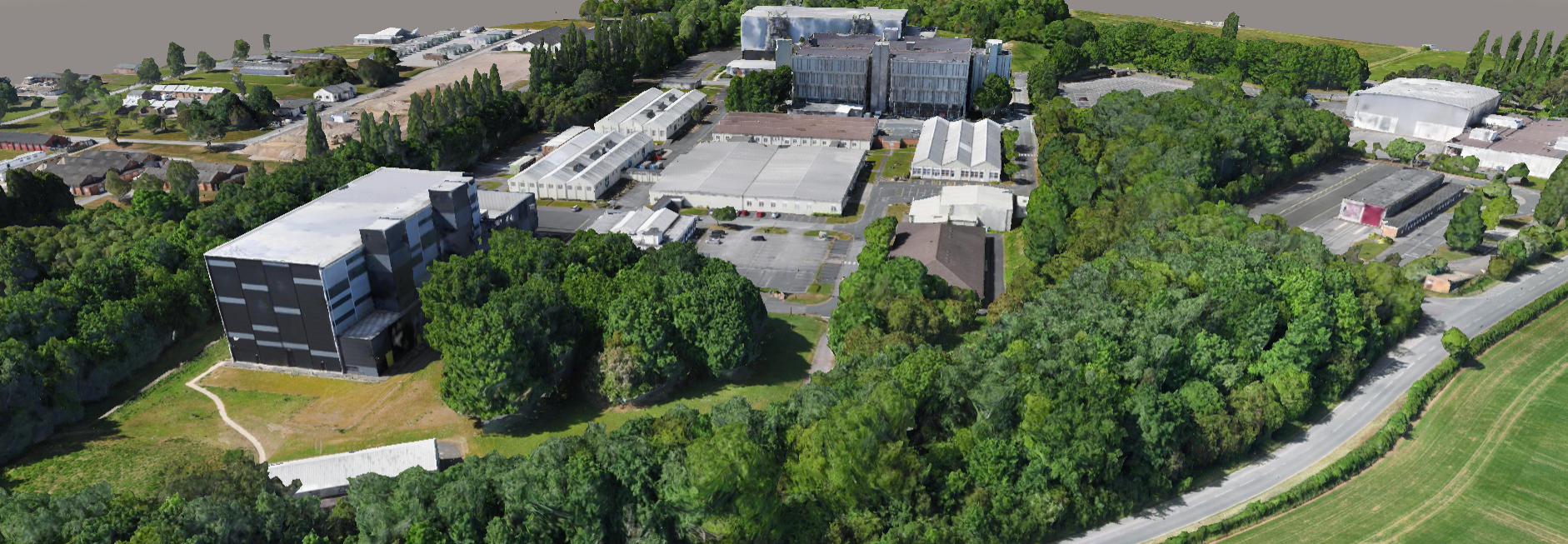
We use the latest surveying technology to capture, process and present spatial data clearly and reliably, tailored to your specific needs. Whether you’re working on a single plot or a multi-phase infrastructure scheme, our geospatial solutions deliver the insights necessary for effective planning, design, and construction.
Ready to unlock the full potential of your site data? Contact Vision Survey today to discuss your geospatial requirements and let our team support your project with clarity, accuracy, and confidence.